
RIT’s Airborne Sensor: WASP
For more information about RIT’s Wildfire Airborne Sensor Program go here.
Collect Information
Imagery
| Data Type | Description | Format | Size (uncompressed) | Link |
|---|---|---|---|---|
RGB pre-ortho |
Original imagery prior to ortho-rectification (Suitable for 3d workflow) |
8-bit JPG |
5GB |
|
RGB ortho |
Ortho-rectified imagery using onboard Applanix information (Suitable for intergration into a GIS geolocated environment) |
16-bit TIF |
72GB |
|
IMU information |
Applanix information for each camera in a local rectangular coordinate system |
ASCII |
154k |
|
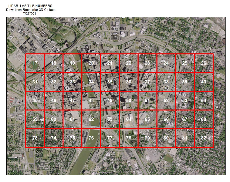
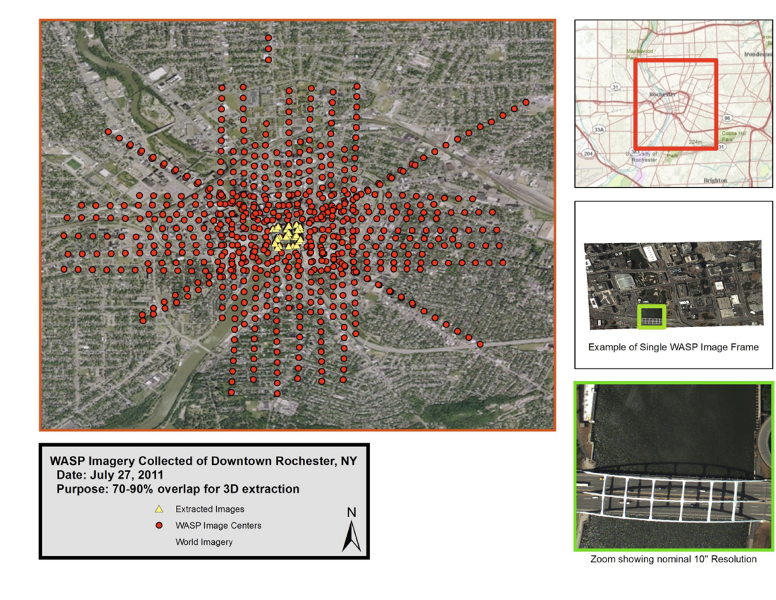
Shapefiles |
Image centes/Image frame foorprint/Overall image coverage area |
ESRI Shapefile |
260k |
Kucera International’s LiDAR data
Kucera International provided a concurrent LiDAR collection with their Leica ALS60 system.
Collect Information